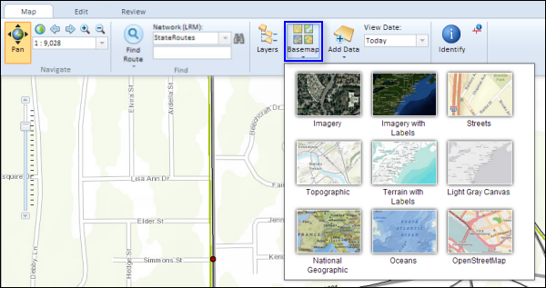
A basemap is used for locational reference and provides a framework on which users overlay or mash up their operational layers, perform tasks, and visualize geographic information. The basemap serves as a foundation for all subsequent operations and mapping. Basemaps provide the context and a framework for working with information geographically.
The Roadway Characteristics Editor provides the functionality to add and change basemap layers.
- Open a web browser and browse to the Roadway Characteristics Editor application.
- On the Map tab, in the Contents group, click the Basemap button
 .
.The basemap selector appears.

- Select any one of the nine basemap layers to add to your map.