Manage Geographic Data
Keep everything under control. Build, manage and connect geographic information using feature and tabular data, imagery, online maps, 3D data, and much more. Go to the next level and enable enterprise-wide collaboration and managed use of information collections across your organization via the ArcGIS platform.
ArcMap Help ArcGIS Pro Help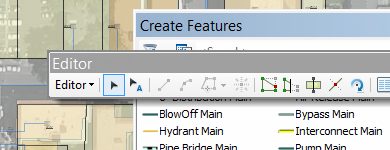
Desktop Editing
Compile and manage geographic data layers that power your GIS. Use the comprehensive suite of editing tools in ArcMap, or begin editing in the new ArcGIS Pro app.
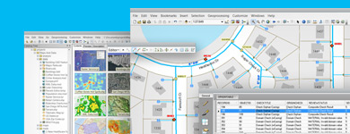
Geodatabases
Store and manage features for ArcGIS, and enable spatial relationships and behavior (such as networks and topologies) on your geographic data. Scale to store massive global datasets and support simultaneous editing by many users.
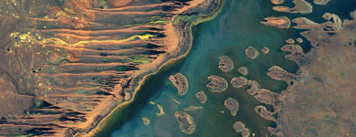
Imagery and Sensor Information
Manage your imagery and raster data. Learn how to edit, analyze, and share your image collections, no matter the size. Enable your image data to be accessed anywhere from desktops to web browsers, tablets, and smartphones.
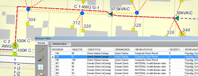
Work with DBMSs and Tables
Turn your tabular information into locations on your map. Add rich attributes to your features. Access geographic and tabular data held in numerous databases, such as Oracle, SQL Server, DB2, PostgreSQL, Teradata, SAP HANA, ALTIBASE, and Netezza. Many tabular formats, such as Excel and comma-delimited text files, can also be used in ArcGIS.
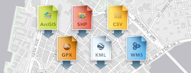
Integrate External Data
Access and work with many geographic data formats. You can connect to data in external business systems, bring this data into your maps, and integrate it with your GIS data.
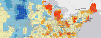
Use Big Data with ArcGIS
Leverage big data by combining custom Hadoop applications with the ArcGIS geoprocessing environment. This is accomplished using the GIS Tools for Hadoop, an open source toolkit for Big Spatial Data Analytics using ArcGIS.
Quick Links
New to ArcGIS?
The Learn ArcGIS website offers lessons and projects that will teach you the fundamentals of the ArcGIS platform.