You can remove datasets that have been registered in the Bathymetry Information System (BIS) from the BIS geodatabase. Only users with Data Owner privileges in the BIS geodatabase can remove bathymetry data. If you are working in a multiuser environment, it is strongly recommended that bathymetry data removal is performed by one user at a time. Any referenced dataset can be removed. Some common situations when this may be considered appropriate are the following:
- The dataset was erroneously added.
- The dataset is no longer in use or required by your organization.
- The dataset has errors that need to be corrected before it can be added to the BIS.
- Start ArcMap.
- On the main menu, click Customize > Toolbars > Bathymetry.
-
Click the Explore Bathymetry button
 on the Bathymetry toolbar.
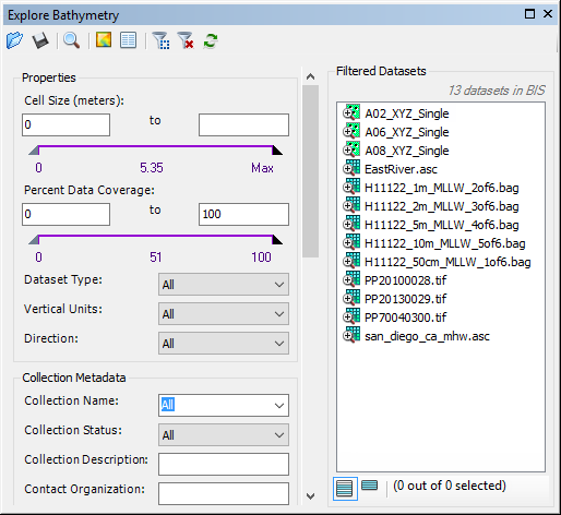
The Explore Bathymetry window appears. The right side of the window lists all bathymetry datasets from the active BIS geodatabase.

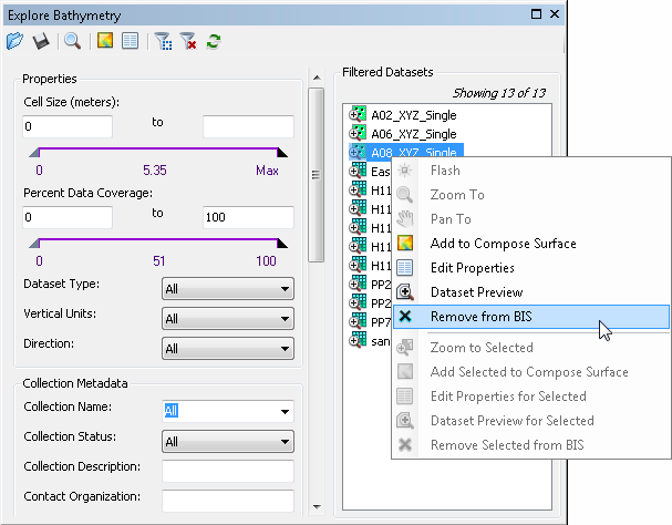
- Click to select one or more datasets you want to remove.
- Right-click the selected dataset and click Remove from BIS to remove the dataset from the BIS.

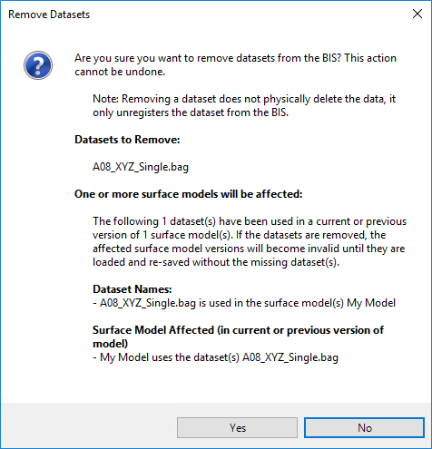
The following message appears.

- Click Yes to confirm you want to remove one or more datasets.
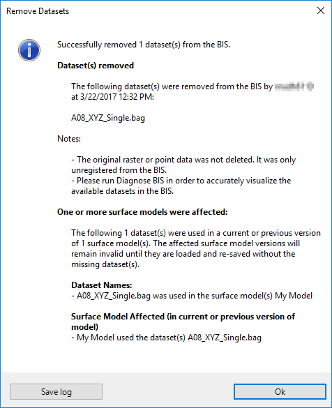
Once the process is complete, a message appears.

- Optionally click Save log to save a text file of the information displayed on the Remove Datasets dialog box.