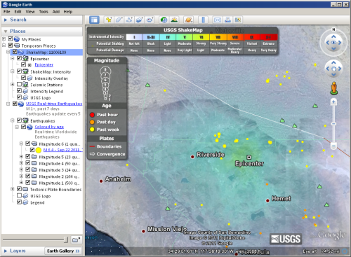
Keyhole Markup Language (KML) is an XML-based format for storing geographic data and associated content and is an official Open Geospatial Consortium (OGC) standard. KML is a common format for sharing geographic data with non-GIS users as it can be easily delivered on the Internet and viewed in a number of free applications, including Google Earth and Explorer for ArcGIS. KML files have either a .kml or .kmz (for compressed or zipped KML files) file extension.
KML can be composed of both feature and raster elements including points, lines, polygons, and imagery, as well as related content like graphics, pictures, attributes, and HTML. Whereas datasets in ArcGIS are typically seen as separate and homogeneous elements (for example, point feature classes can only contain points, rasters can only contain cells or pixels and not features), a single KML file can contain features of different types as well as imagery.

ArcGIS for Desktop has tools for converting KML to an ArcGIS data format, so you can view, edit, and analyze the geographic data contained in any KML file. There are also tools for creating KML, so you can convert any of your data or maps into a KML file that can be easily shared. All of the features of the KML 2.0 and 2.1 specifications are supported in ArcGIS for Desktop. None of the new features in the KML 2.2 specification are currently supported, including time animation, photo overlays, and schema tags. However, even version 2.2 KML will likely be able to be converted to ArcGIS data, as any unsupported tags will be ignored and supported tags such as feature geometry and imagery will be converted.
ArcGIS for Server provides a mechanism for publishing map and image services as KML. This KML will be dynamically linked to the services, so the latest data and maps on the server will be available in the KML.
Why share GIS data as KML?
KML is an excellent format for sharing geographic data with a wide audience because:
- It is a highly portable single file that can contain all of a layer or map's elements, such as feature geometry, imagery, symbology, descriptions, attributes, imagery, and other related content.
- It can be viewed in a number of free and popular applications such as Google Earth and Explorer for ArcGIS.