Graphs may be created from numerous different numeric data sources. These include attributes of features in feature classes or attibutes of integer rasters as well as attribute information maintained in nonspatial data formats such as geodatabase tables, dBASE .dbf files, and Microsoft Excel files. Once a data source is added to an ArcGIS for Desktop application and it has suitable numeric data, it is available as a source to generate a graph.
Graphs can only be created from numeric data fields, while text fields are generally used for labeling. Special consideration must be given to tabular data sources that do not have an ObjectID field.
Tabular data without an ObjectID field has limitations. See About_ObjectID_fields for more information. Therefore, when graphing tabular data without an ObjectID field, you cannot sort the values or make any selections on them. By default, all source records will be used to generate the graph, and options to use selected records will be ignored.
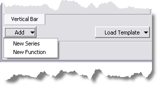
When generating a graph, you might need to graph multiple fields either from the same data source or different data sources. This is achieved by adding these other data sources as "series" to the graph. 