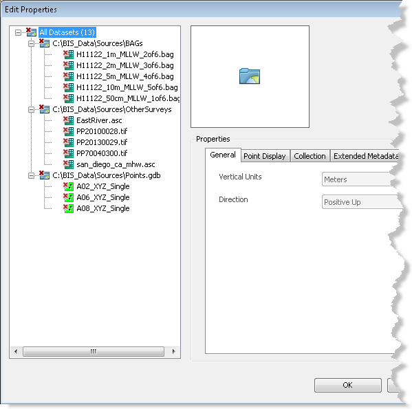
The Explore Bathymetry tool allows you to define filters based on the metadata values associated with the bathymetry datasets. You can also update the extended metadata values within the Explore Bathymetry window using the Edit Properties tool.
- Start ArcMap.
- Click Customize > Toolbars > Bathymetry on the main menu to activate the Bathymetry toolbar if necessary.
-
Click the Explore Bathymetry button
 on the Bathymetry toolbar.
The Explore Bathymetry window appears. The right side of the window lists all bathymetry datasets in the active BIS geodatabase.

- To access the metadata for all datasets currently listed in the Filtered Datasets list, click the Edit Properties button
 at the top of the Explore Bathymetry window.
The Edit Properties dialog box appears.

- Click one of the datasets in the gridded data tree view to highlight it.
The previously defined general, point display, collection, extended, and internal metadata values are listed and viewable for the chosen dataset.
- Optionally update the applicable metadata fields on the Extended Metadata tab.
- Click Apply.
The metadata updates are applied to the chosen dataset.
- Optionally choose a different dataset listed in the gridded data tree view.
- Repeat steps 6 through 8 to update additional metadata fields as necessary.
- Click OK.