Available with Standard or Advanced license.
The Local Government Information Model (LGIM) is an information model of GIS datasets and web services that integrate processes across government departments in the United States. The LGIM contains a collection of maps and apps that are used to manage land records in the United States. A parcel fabric can be enabled with the LGIM.

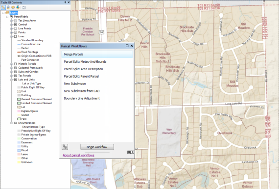
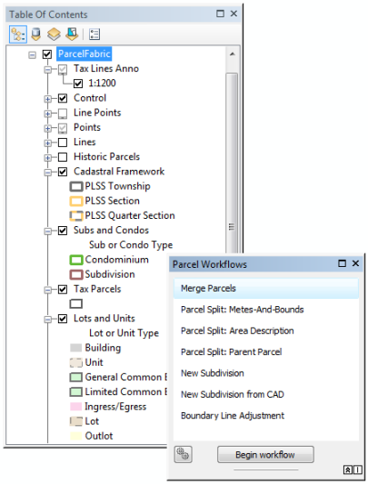
When a parcel fabric is enabled with the LGIM, it becomes optimized for parcel editing in the United States. The parcel fabric layer is configured to display tax parcels, subdivisions, lots, and encumbrances and is streamlined for common parcel editing workflows. Parcel types, attributes, and domains that reflect the editing requirements of local government parcel maintenance are added to parcel fabric tables. Automated parcel editing workflows are available on the Parcel Editor menu.

Enable the Local Government Information Model
A parcel fabric dataset can be enabled with an information model in the Catalog window. Right-click the parcel fabric, point to Information Models, and click Enable Information Model to open the Enable Fabric Information Model wizard.
Learn more about enabling and configuring the Local Government Information Model
Parcel editing workflows
Once you have successfully enabled your parcel fabric with the LGIM, you can use automated parcel editing workflows. These workflows are common editing workflows used by local governments for parcel maintenance. To open the workflows, click Parcel Editor > Parcel Workflows.