ArcCatalog provides an integrated and unified view of all the data files, databases, and ArcGIS documents available to you. ArcCatalog is also used to document and manage metadata and to define the schemas of geodatabases.
The ArcCatalog interface has two key panels:
- The Catalog Tree panel on the left side shows you a tree view of your GIS contents.
- The contents preview panel on the right shows you information and details about selected items in the tree view.
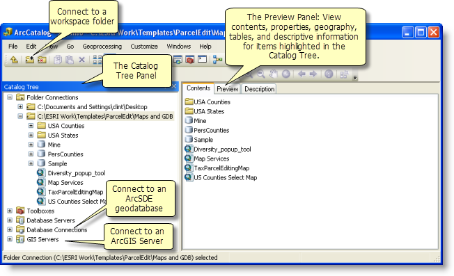
The Catalog tree
ArcCatalog helps you manage all your geographic information items using the Catalog Tree panel to view your files on disk and database connections. By selecting an element in the Catalog tree, you can view its properties, geography, and attributes in the right-hand contents preview panel. You can organize your contents in the Catalog tree, make new connections, add new elements (such as datasets), remove elements, rename them, and so on.
The Contents, Preview, and Description tabs
You can view the properties and contents of any item by clicking to highlight the item in the tree view and display the results in the view panel to the right. There are three viewing options, which are controlled by the tabs in the right panel: Contents, Preview, and Description. Click the tab to select the desired viewing option.
The Contents tab
Use the Contents tab to view the contents of the selected item. 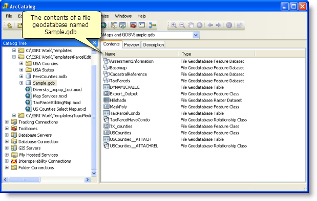
The Preview tab
Use the Preview tab to view the geography or the table of the selected item. There are a number of preview options that can be set at the bottom of the Preview panel. 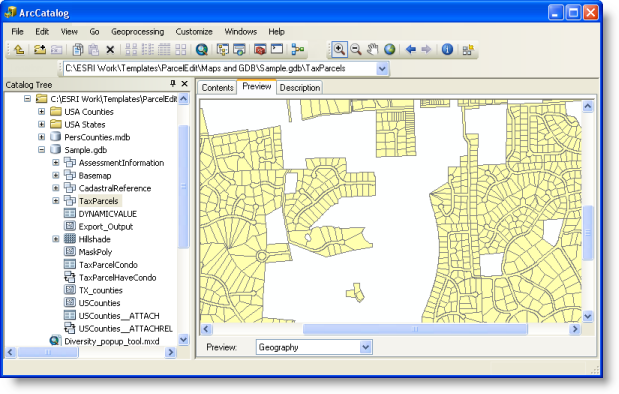
On the Preview tab, you can also see and work with a table view.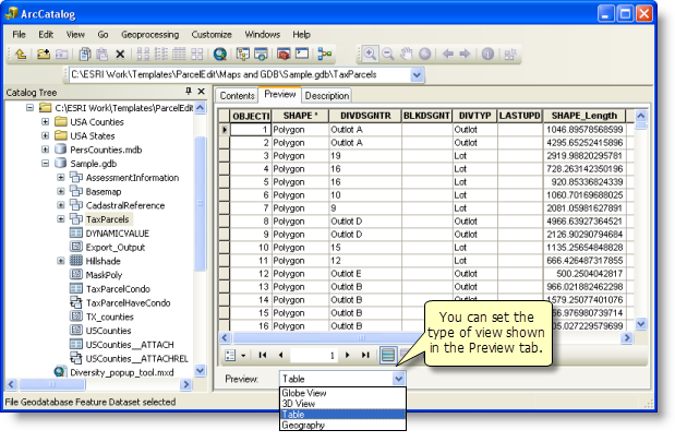
For users who have the 3D Analyst extension, you can see a globe view and a 3D scene view.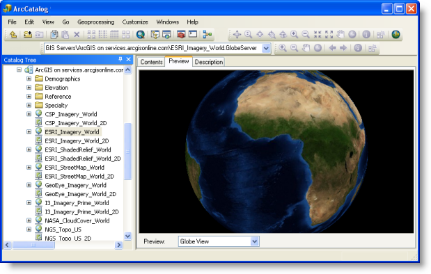
The Description tab
Use the Description tab to view and edit the description (metadata) of the selected item. 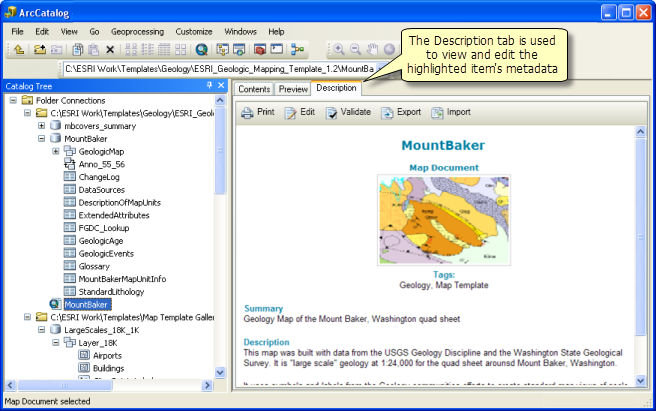
Click the Edit button to edit the item description. 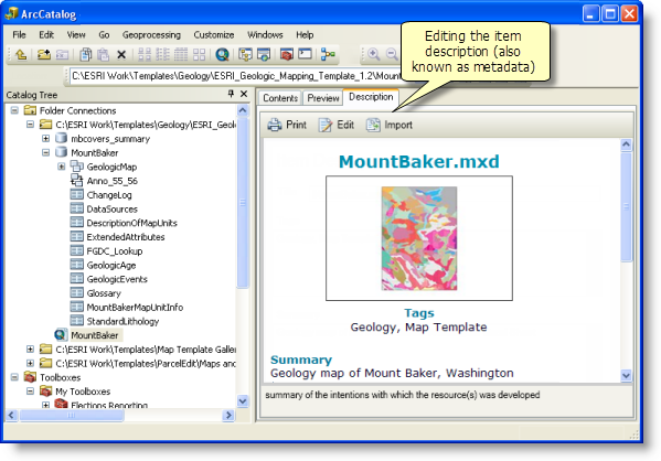
See About viewing metadata for more information.