 |
This document is archived and information here might be outdated. Recommended version. |
 |
This document is archived and information here might be outdated. Recommended version. |
| ArcObjects namespaces > Carto > ESRI.ArcGIS.Carto > Classes > U > UniqueValueRenderer CoClass (ArcObjects .NET 10.4 SDK) |
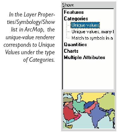
A unique values renderer where symbols are assigned to features based on an unique attribute values.

| Interfaces | Description |
|---|---|
| IDisplayAdmin (esriDisplay) | Provides access to members that control display administration. |
| IExportSupport | Provides access to export support members. |
| IFeatureRenderer | Provides access to members that control functionality common to all feature renderers. |
| IFeatureRendererUpdate | Provides access to members that control functionality common to all feature renderers. |
| ILegendInfo | Provides access to members that control legend information provided by a renderer. |
| ILevelRenderer | Provides access to members that control the drawing of symbols for features, where symbols are separated into levels, and each level drawn separately. |
| ILookupLegendClass | Provides access to functionality for looking up a renderer's legend class via a feature. |
| ILookupSymbol | Provides access to functionality for looking up a renderer's symbol via a feature. |
| IPersist | Defines the single method GetClassID, which is designed to supply the CLSID of an object that can be stored persistently in the system. IPersist is the base interface for three other interfaces: IPersistStorage, IPersistStream, and IPersistFile. |
| IPersistStream (esriSystem) | |
| IRendererClasses | Provides access to members that provides the information of layer annotation classes. |
| IRotationRenderer | Provides access to members that control the drawing of rotated marker symbols based on field values. |
| IRotationRenderer2 | Provides access to members that control the rotation of marker symbols based on field values, expression, or random. Used for all symbols, not just 3D; used for all apps, including ArcMap. |
| ISizeRenderer | Provides access to members that control the drawing of sized marker symbols based on field values, expression, or random. |
| ITransparencyRenderer | Provides access to members that control the drawing of features with varying transparency, where transparency is determined by feature values. |
| IUniqueValueRenderer | Provides access to members that control a renderer where symbols are assigned to features based on unique attribute values. |
| IUniqueValueRenderer2 | Provides access to members that control a renderer where symbols are assigned to features based on unique attribute values. |
| IXMLSerialize (esriSystem) | Provides access to members that XML serialize and deserialize an object to/from XML. |
| IXMLVersionSupport (esriSystem) | Provides access to members that help in serializing an object to different namespaces (versions). |
Use the UniqueValueRenderer to display feature data that falls into distinct categories based on attribute values. For example, if you have parcel data with land use types of residential, agriculture, and retail, you can use a different symbol to represent each unique land use type.
Each unique value can define a unique category, represented with a single symbol, or values can by combined by grouping so that more than one value is symbolized with the same symbol. Grouping is implemented by utilizing IUniqueValueRenderer::ReferenceValue. Also, headings can be used to organize categories in the table of contents and legend, see IUniqueValueRenderer::Heading.
Unique value renderering is typically based on a single attribute field, however up to 3 fields can be used. When more than one field is used, the combinations of the unique values from each field are used to define the categories. So, for example if two fields are used which store the values A and B; and X, Y, and Z respectively, then the initial categories will be defined as A|X, A|Y, A|Z, B|X, B|Y, and B|Z.