 |
This document is archived and information here might be outdated. Recommended version. |
 |
This document is archived and information here might be outdated. Recommended version. |
Applies the ArcObjects 'Simplify' operation to each element of the geometry array.
[Visual Basic .NET]
Public Function Simplify ( _
    ByVal pSR As ISpatialReference, _
    ByVal pInGeometries As IGeometryArray _
) As IGeometryArray
[C#]
public IGeometryArray Simplify (
    ISpatialReference pSR,
    IGeometryArray pInGeometries
);
[C++]
HRESULT Simplify(
  ISpatialReference* pSR,
  IGeometryArray* pInGeometries
);
[C++]
Parameters
pSR

  pSR is a parameter of type ISpatialReference*
pInGeometries

  pInGeometries is a parameter of type IGeometryArray*
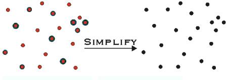
Applies the ArcObjects geometric simplification operation to a copy of each geometry in the input array, placing the result in ppSimplifiedGeometries. The input geometries are assumed to be specified in the input spatial reference pSR, which cannot be nil. The elements can be a mixture of points, multipoints, polylines or polygons. Elements that can’t be simplifed are replaced with empty geometries of the same type at the corresponding index entry in the output array.
Refer to IGeometryServer for additional details on how the input spatial reference is interpreted.
This operation uses the coordinate grid and the xy and z cluster tolerances of the spatial reference. For more information on these properties and how they can affect your coordinates, please refer to the ESRI whitepaper “Understanding Coordinate Management in the Geodatabaseâ€: http://support.esri.com/index.cfm?fa=knowledgebase.whitepapers.viewPaper&PID=43&MetaID=1301
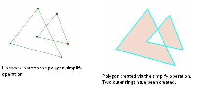
Simplify alters the input geometry making its definition "topologically legal" with respect to its geometry type:

