Disponible avec une licence Geostatistical Analyst.
In ArcMap, geographic data is represented in layers. There are different layer types to represent different data. A feature layer may contain polygons representing soil types, points identifying biomass measured at specific locations, or lines representing a network of trails. A raster layer can represent an aerial photograph or a grid of distances from roads. Other layer types include a triangulated irregular network (TIN) layer for three-dimensional surfaces, a computer-aided design (CAD) layer to store CAD map sheets, and a geostatistical layer to store the results of analysis from ArcGIS Geostatistical Analyst.
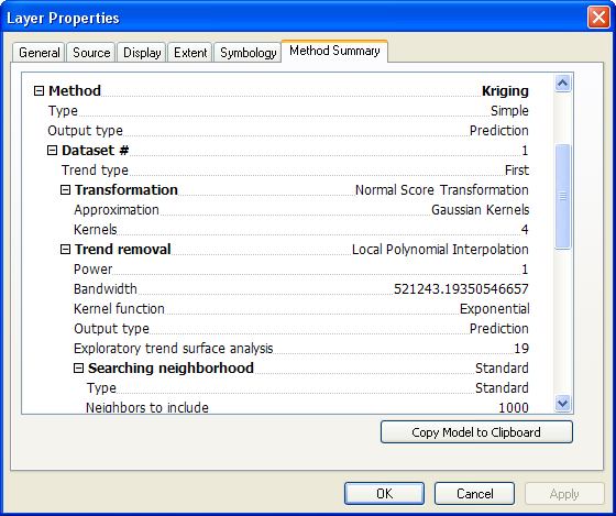
The geostatistical layer is similar to all layers in ArcMap. You can add it to a map, remove it, display it, and alter the symbology. However, a geostatistical layer differs from other layers by the way it is created and stored. A geostatistical layer can only be created by Geostatistical Analyst interpolation methods. Most layer types store the reference to the data source, the symbology for displaying the layer, and other defining characteristics. A geostatistical layer stores the source of the data from which it was created, the symbology, and other defining characteristics, but it also stores the model parameters from the interpolation. From the Properties page for a geostatistical layer, you can view both the original data source and the model parameters.
Not only can you identify the source of the input points and the model parameters, but you can retrieve general information with the General tab, view and alter the layer's map extent with the Extent tab, change the symbology with the Symbology tab, view the interpolation parameters on the Method Summary tab, and set the transparency and whether to show MapTips with the Display tab.
Symbolizing the geostatistical layer
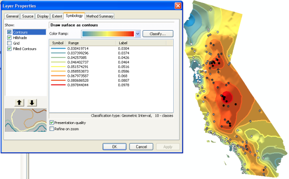
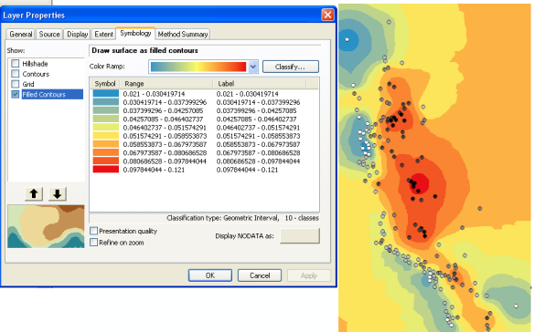
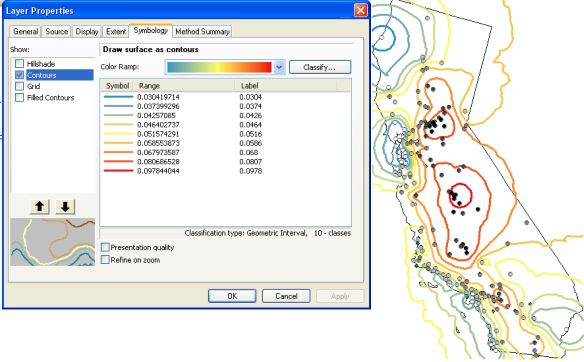
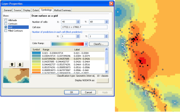
A geostatistical layer can be viewed in four different formats: filled contours, contours, grid, or hillshade. You can combine multiple formats in a single display of the layer to achieve various effects. A full range of symbology and controlling parameters exists for each format.
Filled contours
Contours
Grid
Hillshade
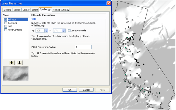
A combination of contours, filled contours, and hillshade
