获得 Production Mapping 许可后可用。
The Grid Layout View tool allows you to look at a grid layer in a current ArcMap session in layout view. The tool projects, scales, sizes, and rotates the data frame in layout view so that the grid layer is viewed in the intended projection and scale. The tool makes the following data frame modifications:
- Projects the data frame to the grid's primary coordinate system
- Changes data frame scale to match the grid's scale
- Changes data frame size to grid's extent at specified scale
- Rotates data frame to grid's specified rotation angle
- Clips data frame to the grid's specified neatline
The tool is not enabled on the Production Cartography toolbar if there is no grid layer on the map. If there is only a single grid layer, then the tool will automatically select it. If more than one grid layer is available, then you must select this layer in the ArcMap table of contents.
During this process, the tool verifies whether the current spatial reference of the data frame matches the primary coordinate system of the selected grid. If they do not match, the data frame is updated. In addition to this, the size of the data frame is then modified to fit the extent of the grid at the specified scale. The data frame scaling option is then changed to fixed scale, and the layout view is zoomed to a percentage that allows the entire grid to be viewed.
While the data frame's size and extent are updated to accommodate the grid at the correct scale, the page size is not altered. The position of the data frame also remains unaltered. When the tool is selected, the data frame expands from the center point of where the data frame was located in the data view.
The data frame is also rotated to the grid's specified angle.
- 启动 ArcMap。
- Make sure your data includes a grid layer.
- Click the Grid Layout View button
 on the Production Cartography toolbar.
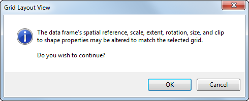
The Grid Layout View dialog box appears.

- Click OK.
The view changes, and the data frame is displayed in layout view.