Create and Design Maps and 3D Scenes
If a picture is worth a thousand words, a relevant map is worth a thousand pictures. Use 2D maps and 3D scenes created on your desktop to visualize data in novel ways and discover non-obvious relationships, inefficiencies, trends and opportunities.
ArcMap Help ArcGIS Pro Help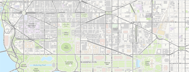
Desktop Mapping
Use maps to visualize, summarize, analyze, compare, and interpret spatial data in both 2D and 3D environments.
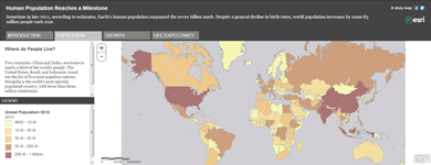
Build and Use Web Maps
Web maps enable people to view the results of your work and to put your geographic information to use in powerful ways.
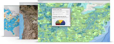
Ready-to-Use Maps
Use the ArcGIS living atlas of maps and online geographic information to enable sharing of your valuable GIS information.
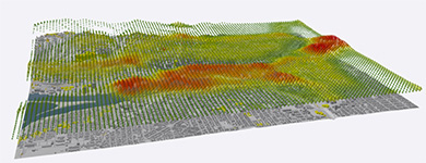
Visualize Your Data in 3D
Work with and view your GIS data in 3D. ArcGIS Desktop includes a number of applications for working in 3D.
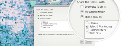
Share Your Maps
Use maps to share your geographic data, analysis, and content throughout your organization and with the public.
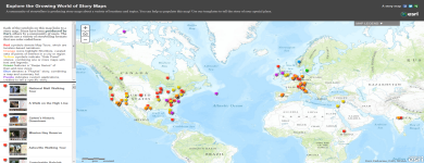
Tell Your Story Using Maps
Story maps combine intelligent web maps with web apps and templates that incorporate text, multimedia, and interactive functions. Tell your story, and inform, educate, entertain, and inspire people.
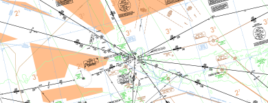
Production Mapping
Many mapping organizations use ArcGIS as a production tool for creating and publishing consistent, authoritative cartographic products for traditional printed materials and online maps.
Quick Links
- Map services
- Create maps in ArcGIS Online
- What's new in mapping (ArcMap)?
- Help: 10.8 | 10.7 | 10.6 | 10.5 | 10.4 | 10.3 | 10.2 | 10.1
New to ArcGIS?
Try lessons and projects that will teach you the fundamentals of creating maps with ArcGIS: