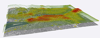
3D GIS
The world is not flat and you are no longer limited to abstraction. Use 3D to see your data in its true perspective, to make better decisions, and to communicate your ideas more effectively and efficiently. ArcGIS Desktop leads the way in 3D GIS.
ArcMap Help ArcGIS Pro Help
Work with Your Data in 3D
Work with and view your GIS data in 3D. ArcGIS Desktop includes a number of applications for working in 3D.

Analyze in 3D
Apply surface and 3D analysis tools using ArcGIS 3D Analyst to work with 3D, Lidar, TIN, and raster information layers.

Work with Lidar Data
Leverage all of the content contained in your LAS files and Lidar data collections. Use them for feature extraction and for building detailed surface models.

Work with Terrain Data
Leverage your terrain datasets to manage multi-resolution surface models. Use them for feature extraction and for building detailed surface models.

Share Your GIS Using 3D Web Scenes
Create and share 3D scenes for use in web browsers and native 3D apps on mobile devices.

3D-Enable Your Geographic Data
Find out how your existing GIS data can go 3D. Integrate your content with new 3D features and surface representations.
Quick Links
- Web scenes
- What's new in 3D GIS?
- Help: 10.8 | 10.7 | 10.6 | 10.5 | 10.4 | 10.3 | 10.2 | 10.1
New to ArcGIS?
The Learn ArcGIS website offers lessons and projects that will teach you the fundamentals of the ArcGIS platform.