Available with Network Analyst license.
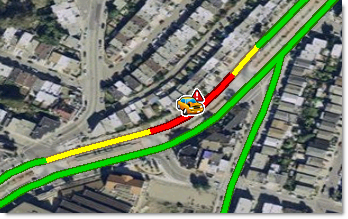
If knowing where traffic is slow is important to you, it might also be important to know why it is slow. The ArcGIS Network Analyst extension provides a geoprocessing tool to download live, traffic-incident data, which shows current construction projects, traffic accidents, and other events that may influence travel speeds. The incidents are stored as points in a feature class.

Network Analyst doesn't use incident information to calculate costs because live traffic speeds already account for traffic incidents, but by downloading and visualizing incidents, you can better understand why current traffic conditions are slow in areas.