The following samples show the impact of Relationship rules on schematic diagrams.
Sample 1—Using a Relationship rule to add spatial target nodes in the generated diagram
For the schematic diagram template implementing the following sample diagram (figure 1.1), a Relationship rule is defined to add County schematic features, which are related to TransformerBank schematic features contained in diagrams, and display these counties as containers around their related transformer banks.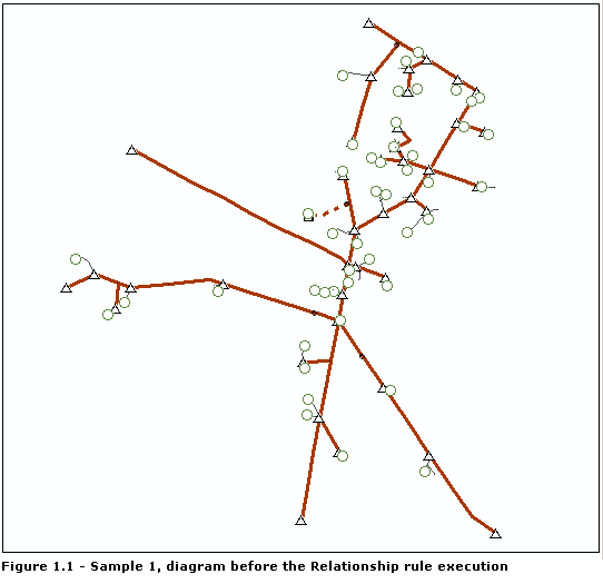
The County_TransformerBank relationship class stored in the geodatabase relates each TransformerBank feature to a county. The Relationship rule works with this relationship class. For each initial TransformerBank feature used to generate the diagram, the County_TransformerBank class is used to retrieve its related county. Each detected county is added to the initial set of schematic features. The Relate source and target schematic features box is checked and will cause each county to be displayed as a container around its related transformer banks.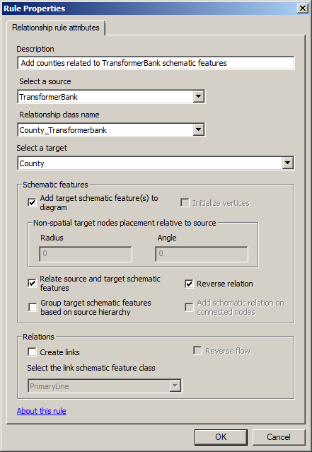
Figure 1.2 shows the result obtained after the diagram is updated while this Relationship rule is active.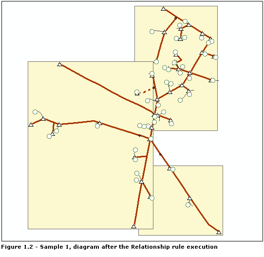
Sample 2—Using a Relationship rule to add nonspatial target nodes in the generated diagram
For the schematic diagram template implementing the following sample diagram (figure 2.1), a Relationship rule is defined to add nonspatial schematic features, Inside_Nodes, related to Substation schematic features. In the following sample diagram, there is a Substation schematic node at the center where the four schematic links intersect.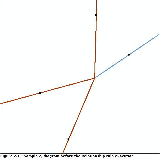
The Substation_InsideNodes relationship class stored in the applicable geodatabase relates each Substation GIS feature to a set of nonspatial inside objects. The Relationship rule works with this relationship class. For each initial Substation feature used to generate the diagram, the Substation_InsideNodes relationship class is used to retrieve its related inside nodes. Each detected inside object is added to the initial set of schematic features contained in the diagram. The Relate source and target schematic features box is checked so the substations are displayed as containers around their related inside schematic features.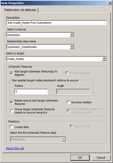
Figure 2.2 shows the result obtained after the diagram is updated while this Relationship rule is active. All the related inside schematic nodes have been added to the generated diagram and stacked at the Substation location.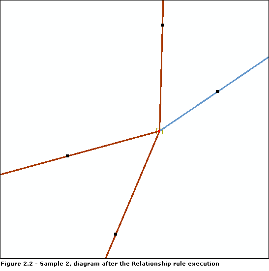
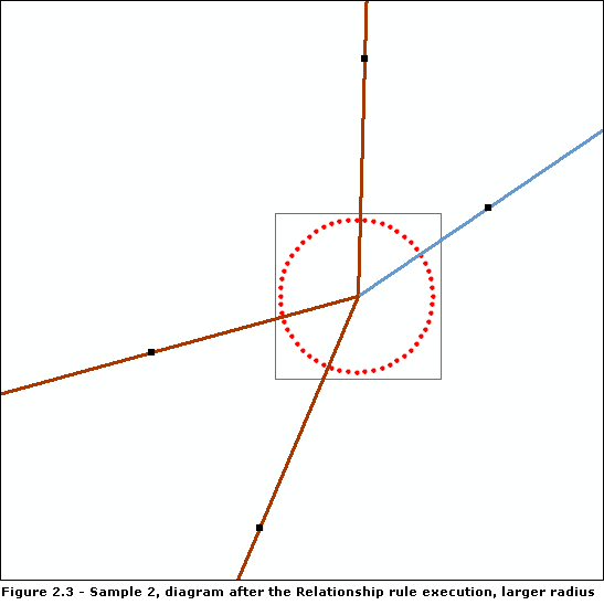
By specifying a radius factor other than 0, the related inside schematic nodes automatically display along a circle whose radius is that specified radius and whose center is the Substation location. Below is the result obtained when Radius is set to 60.