Updating the route geometry based on aerial imagery, as-built drawings, or input from field data collectors in a manner that does not change measures can be achieved by direct modifications to the centerline. This is known as cartographic realignment. ArcGIS Roads and Highways allows you to change the shape of centerlines and preserve the calibration of the underlying routes as they existed before the cartographic realignment was applied. The results are achieved by editing the geometry of the centerlines that are associated to the route.
- Start ArcMap.
- Set up the Roads and Highways editing environment.
- Use the ArcMap navigation tools to zoom to the location of the alignment change.
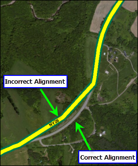
- Uncheck the network layer in the table of contents.
- Check the centerline layer in the table of contents.
- 单击编辑器 工具条上的编辑工具
 ,并单击要素。
- Double-click the centerline's edge.
The selected centerline's vertices appear.
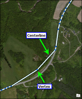
- Edit the vertices of the selected centerline to match the correct alignment of the route.
You can do this by adding and deleting the vertices and by modifying segments. You can also use the geometry editing tools available in ArcGIS Desktop.
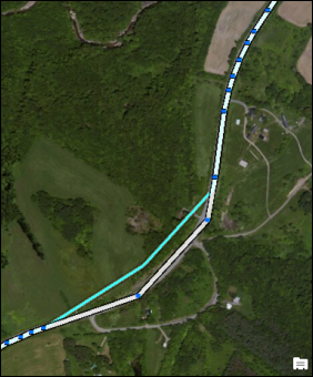
- After editing the vertices to match the proposed alignment of the route, right-click anywhere on the map and click Finish Sketch.
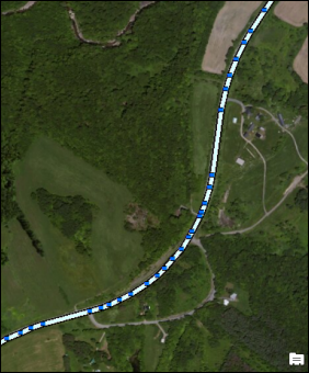
- Check the network layer in the table of contents.
The route is now cartographically realigned.
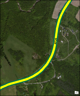
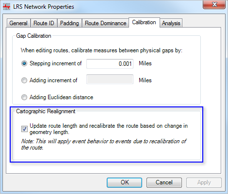
When the route's geometry is cartographically realigned to increase or decrease in length, the resulting alignment will follow the geometrical length of the centerline if you have selected the option on the Roads And Highways Editing dialog box. To do so, right-click the LRS Network in the Catalog window and click Properties, and then click the Calibration tab.
In the image below, a cartographic realignment was performed on the route. The measure length of the route increased as a product of the realignment. Checking the Cartographic Realignment option selected on the dialog box will result in re-calibration of the route by updating the measure length. If the option is checked, the route will get recalibrated per the new length of the route after the cartographic realignment. If the option is unchecked, only the cartographic realignment will be applied, which means that the route will not be recalibrated and the measures will remain the same as they were before the cartographic realignment.

