When ArcMap draws a cached map service, it makes a server request that includes properties such as the desired map extent and the map scale. ArcGIS for Server uses this information to determine which prerendered cache images to send back to ArcMap.
The server does not recompute the map display. Instead, it simply retrieves the tiles for the appropriate map scale that have been precomputed and stored on the server. The server sends only the images you need for display at the appropriate screen resolution.
Getting information on cached scales
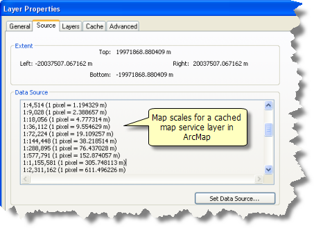
The Layer Properties dialog box for the map service you add in ArcMap lists map scale information about the map cache properties on the Source tab. 
Navigating your map
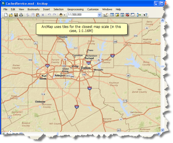
As you pan, zoom, and navigate to any desired map scale, ArcMap displays the cached images closest to your display scale in ArcMap.

The Advanced tab
Advanced options are limited for a cached service layer.
- You cannot make any color other than the background color transparent for a cached service layer.
- The image type of cached map services is set by the service author. As a user of the service, you cannot change the image format.
- When a cached service is in PNG32 format, you cannot make the background opaque, while the background of a cached service in JPEG format is always opaque.
You can add transparency to the entire layer. This allows you to see map features that lie underneath the layer. You can only add transparency to the entire service layer, not to sublayers.
Related topics
- About using ArcGIS services in ArcGIS for Desktop
- About cached map services
- About ArcGIS caches
- Connecting to GIS servers
- Adding ArcGIS for Server map services
- Using ArcGIS for Server map services
- Managing your local display cache
- Managing the performance of ArcGIS map services
- Printing and exporting maps containing service layers