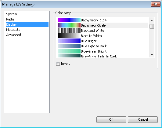
The Manage BIS Settings tool allows you to locally set a default color ramp for data visualized in the Explore Bathymetry or Compose Surface windows. For bathymetry data, a color ramp applies a range of colors to the range of depth values associated with a surface model. ArcGIS for Maritime: Bathymetry provides you with standard color ramps used within the bathymetric community.
- Start ArcMap.
- On the main menu, click Customize > Toolbars > Bathymetry.
-
Click the Manage BIS Settings button
 on the Bathymetry toolbar.
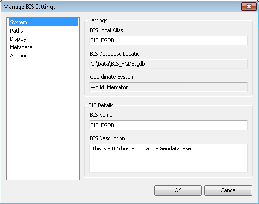
The Manage BIS Settings dialog box appears. The settings for your active BIS geodatabase are shown in the dialog box.

- Click the Display pane.

- In the Color Ramp section, choose the color ramp that you want to use to visualize data in the Explore Bathymetry and Compose Surface windows.
Modifying the color ramp will not automatically update your color ramp in ArcMap, nor will it update thumbnail previews of the data.
- Optionally check the Invert check box.
The color ramp pattern will invert for any preview mosaic datasets created after this check box is checked.
- Optionally uncheck the Invert check box.
The original pattern will be used for any preview mosaic datasets created after this check box is checked.
- Click OK.